Changelog

Follow new updates and improvements to Backtrack.

Your Photos, on the Map

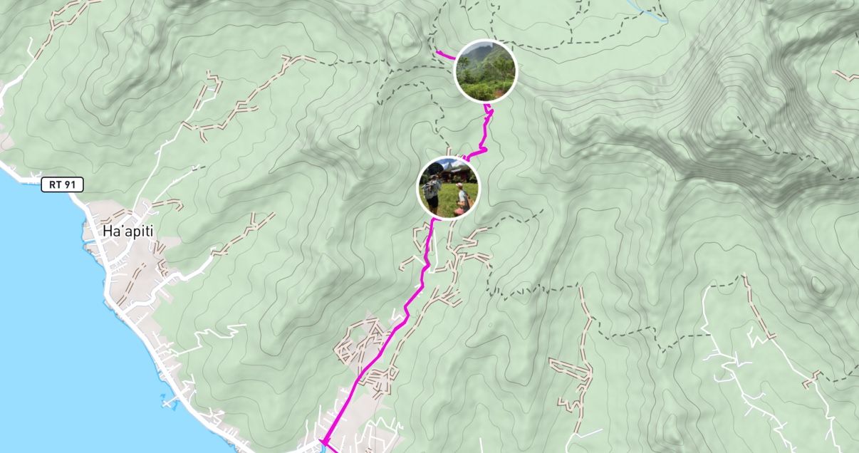
This update introduces Photo Waypoints, a new way to bring your adventures onto the map.

Add a photo and Backtrack uses the location saved in the image to place it where it was taken. The photo appears right on your map, so you can see your favorite views and memorable spots alongside your routes.

Try it out from the "+" menu on mobile, or edit a waypoint on desktop.

New

5.0.0 - Redesigned Base Maps

This update introduces Explore Modes, more detailed base maps, improved offline downloads, and a new Private Land layer.

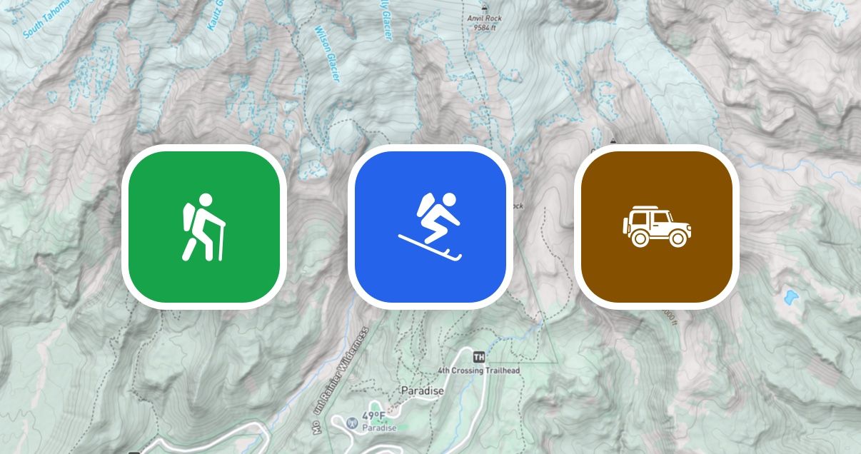
Hike, Ski, Off-Road

Explore modes make it easy to switch between map setups tailored to your activity.

Hike, Ski, Off-Road

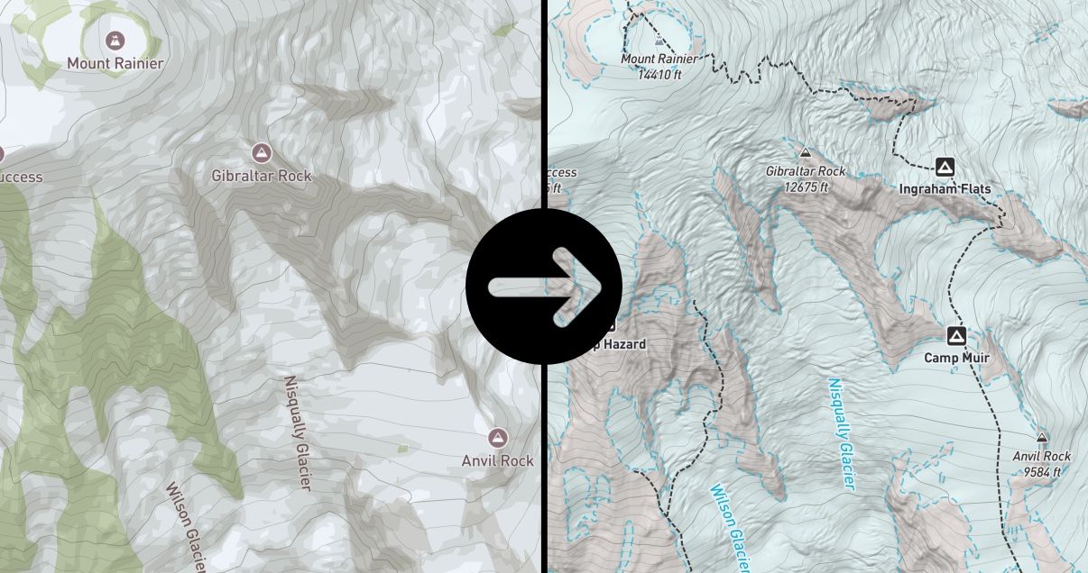
Redesigned Base Maps

Each mode uses a redesigned topo base map with activity-specific details, including trails, trailheads, lake labels, national park / wilderness boundaries, and off-road tracks. Other improvements include high resolution hillshading from 1m DEM data and a refreshed color palette.

Improved Offline Downloads

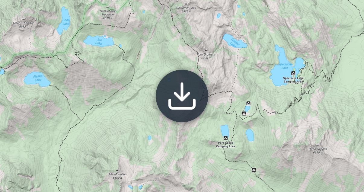
Offline maps are now faster and more capable, including reduced download sizes, faster download performance, and background downloading. Additionally, slope shading can now be downloaded for offline use.

Improved Offline Downloads

Private Land Layer

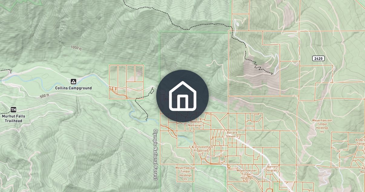
A new Private Land layer shows land boundaries and ownership across the United States. Use it to help confirm that campsites, off-trail routes, and access points are on legal ground before you head out.
Private Land Layer
New

4.5.0 - New Route Builder

This update makes route planning faster, simpler, and more intuitive.

All-New Route Builder

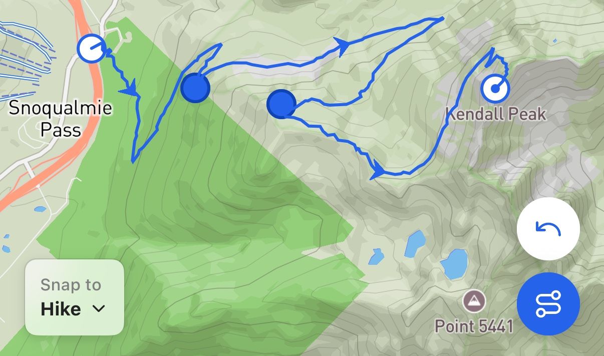
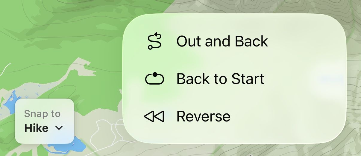
A completely redesigned route builder makes planning routes easier than ever. Select your snap mode and easily add new points, drag existing points, and undo at any time.

Perfect Your Route

Instantly create an Out and Back route, Reverse your route direction, or quickly add a Back to Start segment with a single tap.

Perfect Your Route

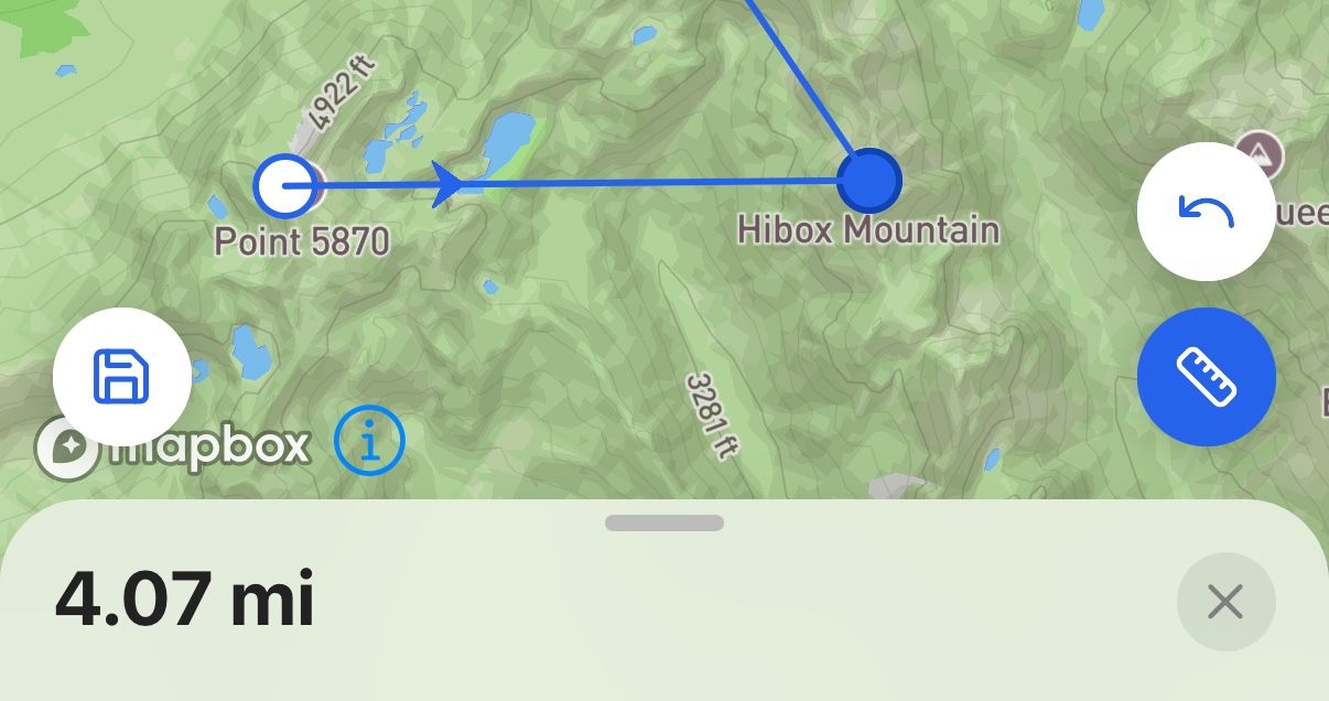
Measure Tool

Measure distances directly on the map with the new Measure Tool. Try it out from the new plus menu.

Measure Tool
New

Earlier updates