5.0.0 - Redesigned Base Maps
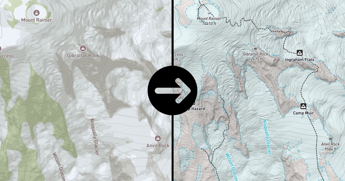
This update introduces Explore Modes, more detailed base maps, improved offline downloads, and a new Private Land layer.
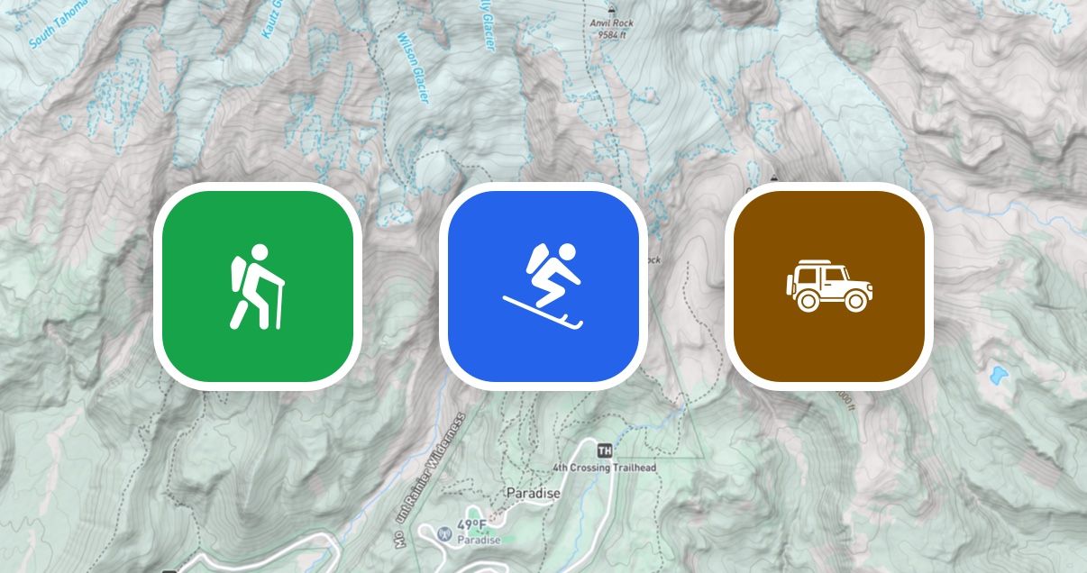
Hike, Ski, Off-Road
Explore modes make it easy to switch between map setups tailored to your activity.
Redesigned Base Maps
Each mode uses a redesigned topo base map with activity-specific details, including trails, trailheads, lake labels, national park / wilderness boundaries, and off-road tracks. Other improvements include high resolution hillshading from 1m DEM data and a refreshed color palette.
Improved Offline Downloads
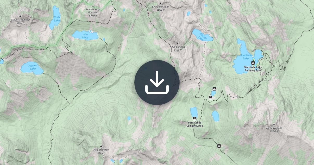
Offline maps are now faster and more capable, including reduced download sizes, faster download performance, and background downloading. Additionally, slope shading can now be downloaded for offline use.
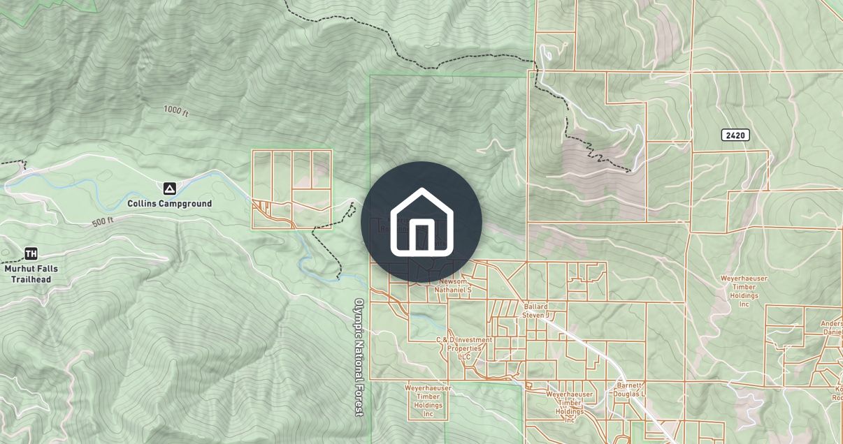
Private Land Layer
A new Private Land layer shows land boundaries and ownership across the United States. Use it to help confirm that campsites, off-trail routes, and access points are on legal ground before you head out.