September 3rd, 2026

Quickly switch between Ski, Hike, and Off-Road modes to get the right map layers for your activity without configuring them manually.
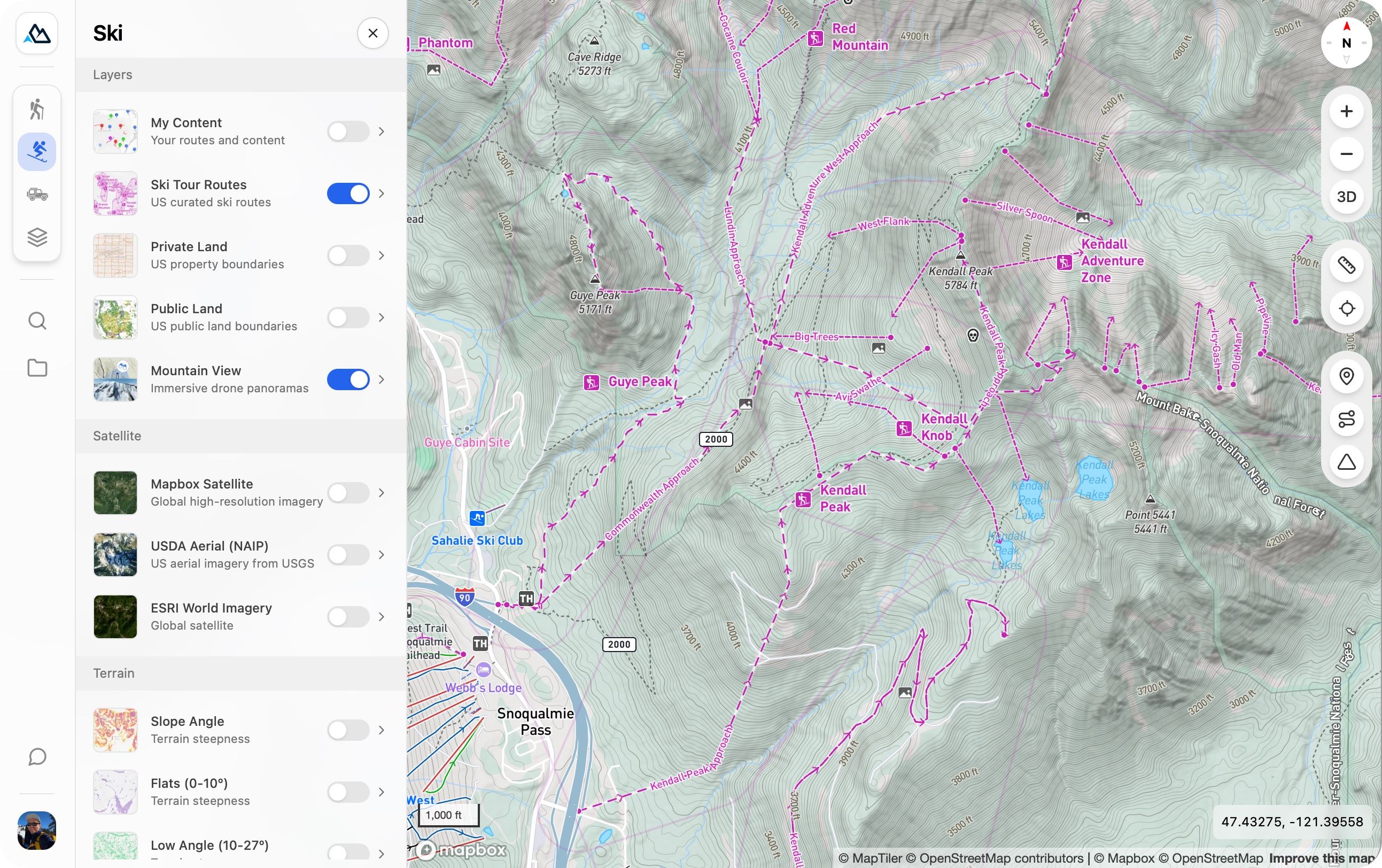
Introduced on mobile recently, Explore Modes are now available on the web. Whether you’re planning ski lines, exploring trails, or heading off-road, you can instantly tailor the map to your adventure. Start exploring in the redesigned sidebar: just click the mode you’re interested in.
“My Maps” has been renamed to “Library” and now includes all maps you’ve created or saved so you can more easily get back to what you’re working on.
We’ve overhauled the map controls on the right side of the page with a fresh design and better grouping, along with new buttons to quickly create a waypoint, route, or area.
August 21st, 2026
This update to the mobile app introduces the new Library, more powerful measure tool, and a refreshed design.
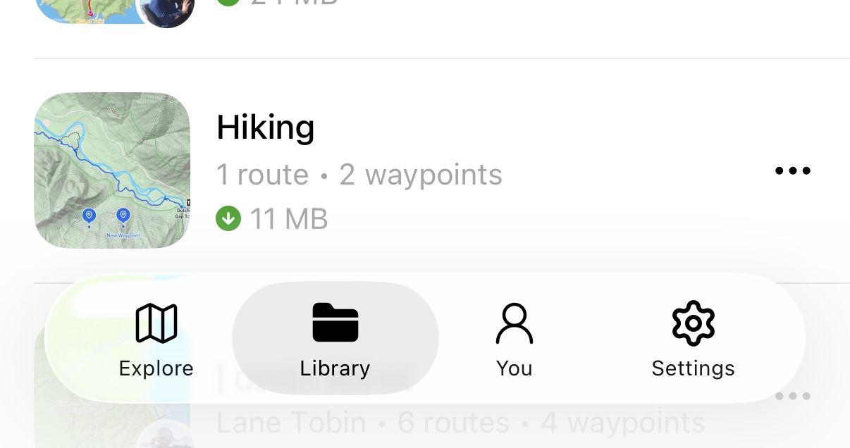
Your maps have a new home. The new Library makes it easy to find and manage the maps you’ve created, saved, and downloaded in one place.

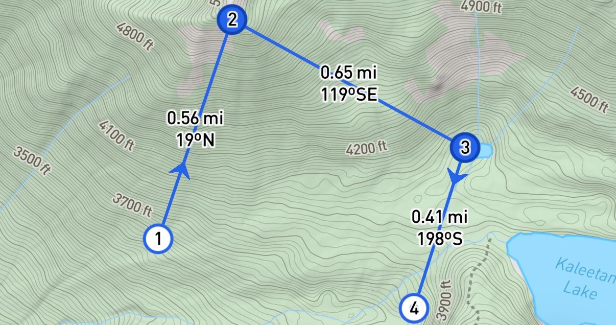
As you measure, you can now see distances for each segment, elevations at individual points, and bearings between points.

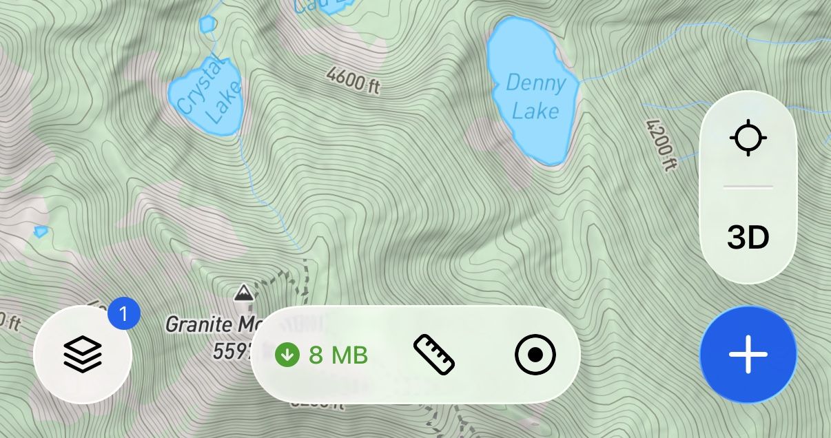
Backtrack now supports Liquid Glass on iOS, and Edge-to-edge layout on Android, bringing a fresh, modern look that highlights your map content. The new map toolbar allows for easier access to tools like measure, record, and downloads.

July 15th, 2026
New

This update introduces Explore Modes, more detailed base maps, improved offline downloads, and a new Private Land layer.
Explore modes make it easy to switch between map setups tailored to your activity.

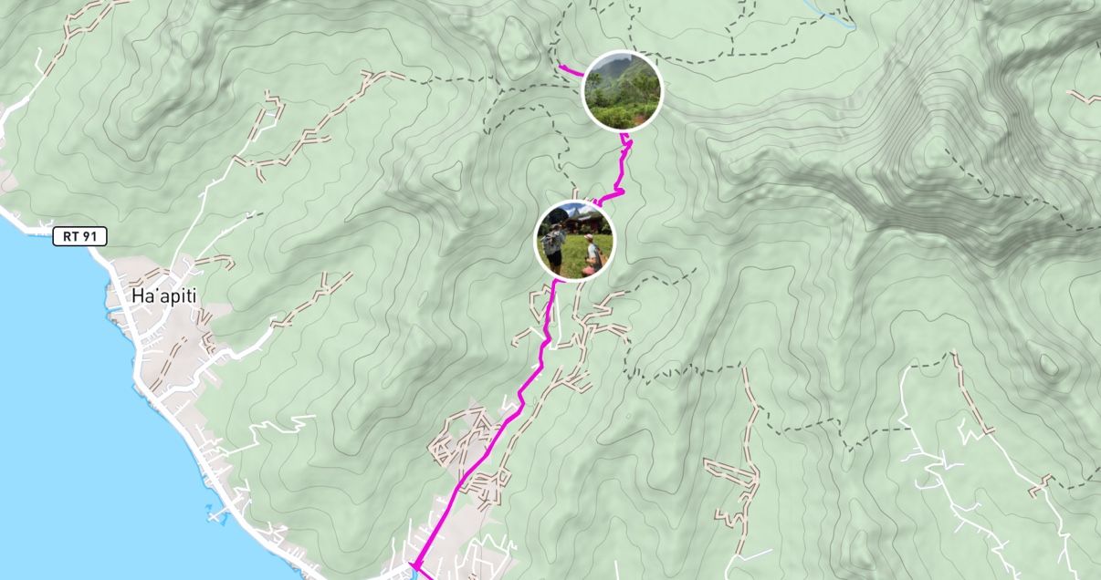
Each mode uses a redesigned topo base map with activity-specific details, including trails, trailheads, lake labels, national park / wilderness boundaries, and off-road tracks. Other improvements include high resolution hillshading from 1m DEM data and a refreshed color palette.
Offline maps are now faster and more capable, including reduced download sizes, faster download performance, and background downloading. Additionally, slope shading can now be downloaded for offline use.

A new Private Land layer shows land boundaries and ownership across the United States. Use it to help confirm that campsites, off-trail routes, and access points are on legal ground before you head out.

May 16th, 2026
New

This update makes route planning faster, simpler, and more intuitive.
A completely redesigned route builder makes planning routes easier than ever. Select your snap mode and easily add new points, drag existing points, and undo at any time.
Instantly create an Out and Back route, Reverse your route direction, or quickly add a Back to Start segment with a single tap.

Measure distances directly on the map with the new Measure Tool. Try it out from the new plus menu.

May 4th, 2026
This update enhances elevation profiles, giving you better context and real-time awareness as you move along your route.
View route markers directly within the elevation profile to better understand key points along your journey.

See your current location in real time on the elevation profile as you progress along the route.

Select any portion of your route on desktop to view the distance and elevation gain between points.

March 11th, 2026
Improved

This update brings improvements to both map sharing and marker icon selection, making it easier to collaborate on maps and quickly find the right icons for your points.
More flexible map sharing
You can now share maps with specific users, not just broad visibility settings.
Set per-user permissions such as View only or Editor.
This allows sharing a map link with general view-only access, while allowing a specific subset of collaborators to edit.

More icons for markers and improved picker
Expanded the marker icon library with many new options, including safety, hazard, activity, and transport icons.
Added search bar so you can easily find the icon you’re looking for.

Other improvements
You can now search the map by latitude + longitude coordinates.
Maps with header images or descriptions will now display those on desktop, matching the mobile experience.
Many of these improvements came directly from feedback in the new Backtrack Discord community. If you have ideas, feature requests, or things that could work better, we’d love to hear them. Join the Discord to chat with the team and community, or submit your ideas to our public feedback board. Your input helps shape what we build next.
December 4th, 2025
All-New Offline Functionality: Your maps, routes, folders, and other content now sync to your device automatically and are stored in a local database.
This means you can view, edit, and create routes, markers, and folders offline and everything syncs once you're back online.
This is our biggest step yet toward making Backtrack the most reliable mapping tool in the backcountry. Enjoy the new offline experience!
Choose a region and the layers you want, and Backtrack will package everything for offline use. Your downloads now apply across all your map content, making it easier than ever to prep for a trip.

You can now create new routes, markers, and folders offline in the field and your changes will be synced once you're back online. Perfect for marking where you stashed that gear.

Explore fully rendered 3D terrain without cell service, and optionally download additional layers like satellite imagery. Toggle layers on and off in the field to see the landscape exactly how you want it.

View detailed elevation profiles even when you’re offline — including for brand-new routes you create in the field.

November 20th, 2025
New

All terrain layers have been rebuilt using high-resolution LiDAR data (1m), increasing the level of detail by over 10x.
New overlays—including Aspect, Hillshade, and Slope Highlight—expand your toolkit for understanding terrain.
The following layers are brand new on the mobile app:
Aspect Shading: Visualize terrain orientation with new aspect shading overlay.

Slope Angle Highlight: New overlay to highlight specific slope angle ranges to identify terrain steepness relevant to your activity.

Aspect Highlight: Highlight customizable aspect ranges to zero in on terrain facing the direction you care about.

Hillshade Layer: A new hillshade layer provides realistic shading and enhances terrain readability across all zoom levels.

April 9th, 2025
New

We’re thrilled to announce that Backtrack is now available on the Google Play Store! 🎉
Android users can now plan and share their outdoor adventures—right from their phones. Whether you’re hiking, biking, skiing, or just exploring, Backtrack gives you the tools to map your journey and discover public routes from the community.
What you can do with Backtrack on Android:
• 🌲 Discover maps shared by others
• ✏️ Create and edit custom maps
• 🔍 Access terrain, satellite, and other advanced layers
• 📡 Use offline maps in the backcountry (with Backtrack Pro)
We can’t wait to see where your adventures take you.
February 2nd, 2025

You can now embed your Backtrack maps directly on your own website! 🖥️📍
• Showcase your adventures, routes, or trip plans anywhere.
• Easily share interactive maps with your audience.
• Works seamlessly on blogs, trip reports, and more.
Try it out today and bring your maps to life! 🚀✨
Access from the share modal: